What is rQuake?
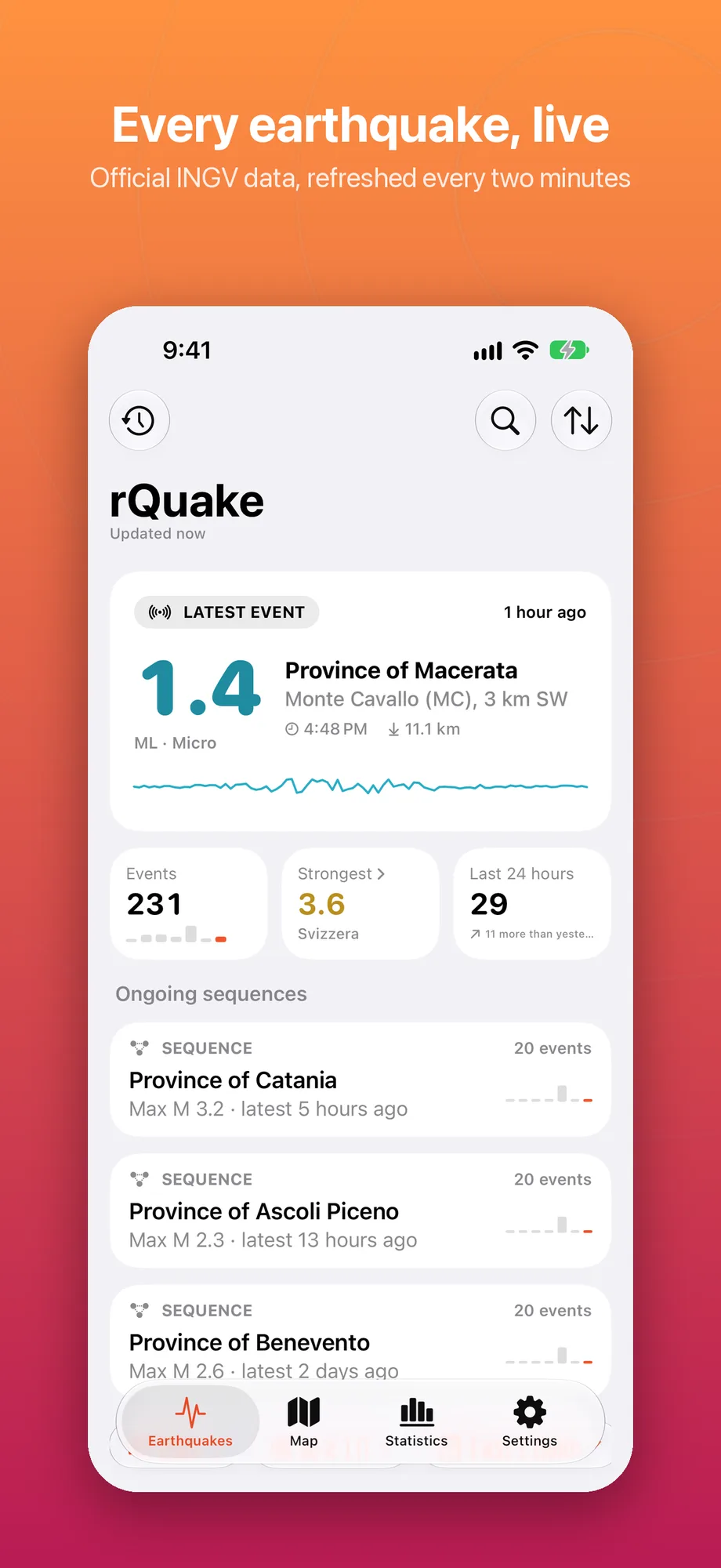
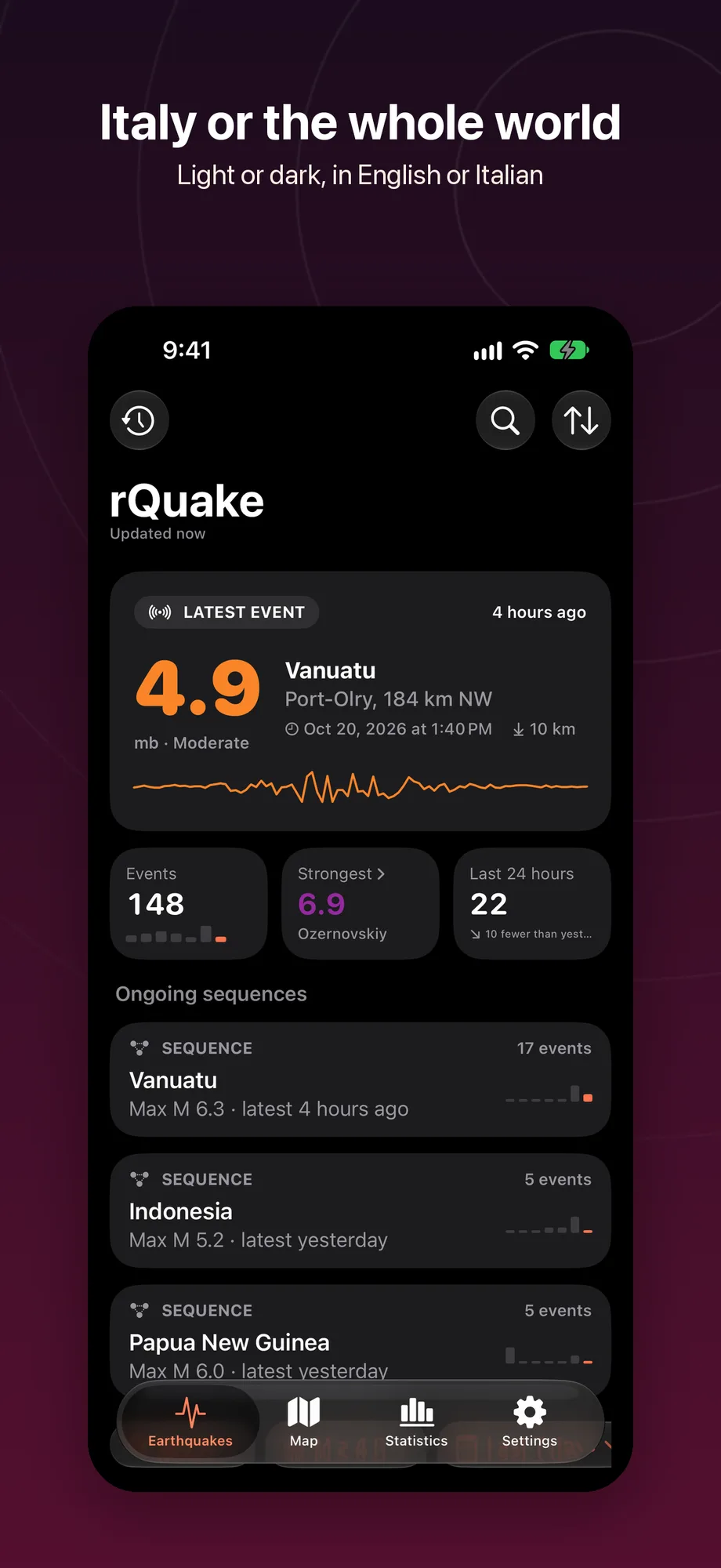
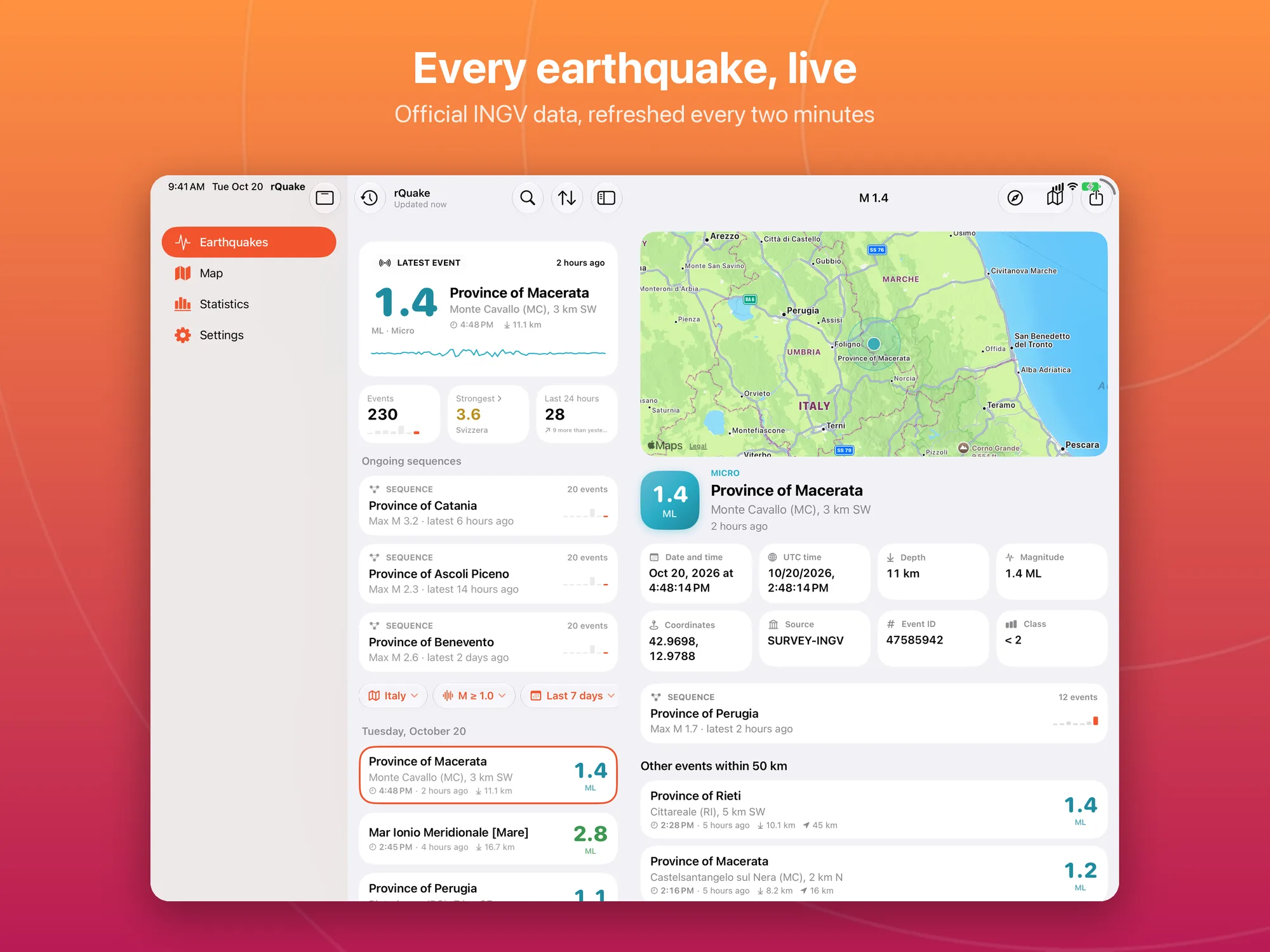
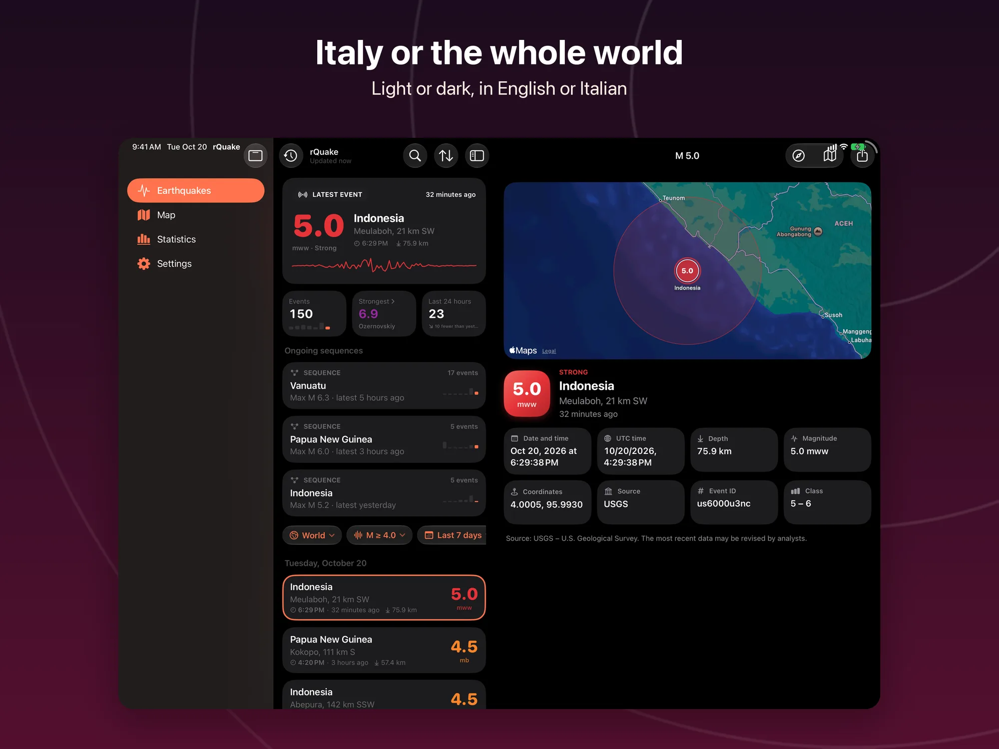
rQuake shows the earthquakes recorded by INGV (the Italian National Institute of Geophysics and Volcanology) in Italy and, for the rest of the world, by the source you choose among USGS, EMSC and GFZ GEOFON. The latest event is always at the top, with magnitude, location, depth and time; below it is the list day by day, coloured by the strength of each shock.
rQuake is not an early-warning system and is not an official app of any of these sources: it shows events after they have been located.
Key Features
- Official data: INGV for Italy and, for the rest of the world, USGS, EMSC or GFZ GEOFON as you choose, refreshed every two minutes while the app is open.
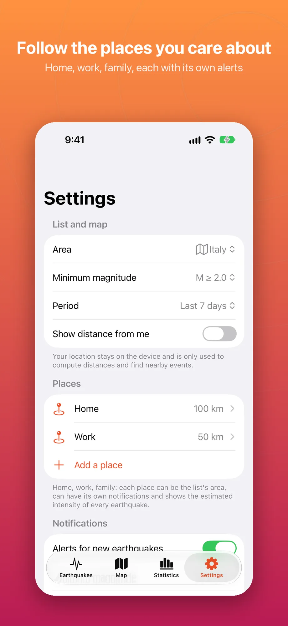
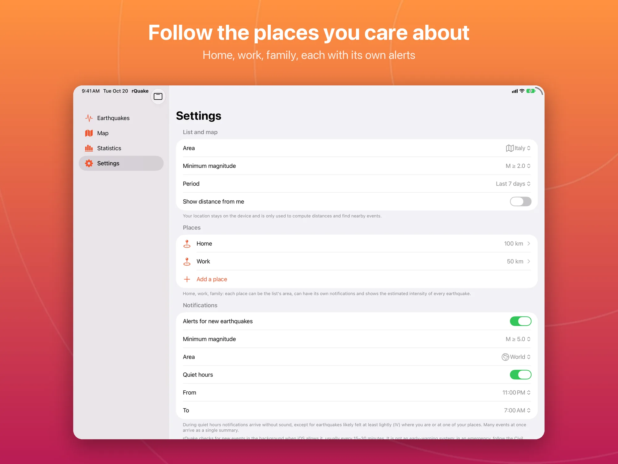
- Area, magnitude and period: Italy, World, Near me (with a radius from 25 to 500 km) or a saved place; minimum magnitude from “All” to M ≥ 5; period from the last 24 hours to 30 days.
- Search and sorting: by place, with the list sorted by date, magnitude or distance.
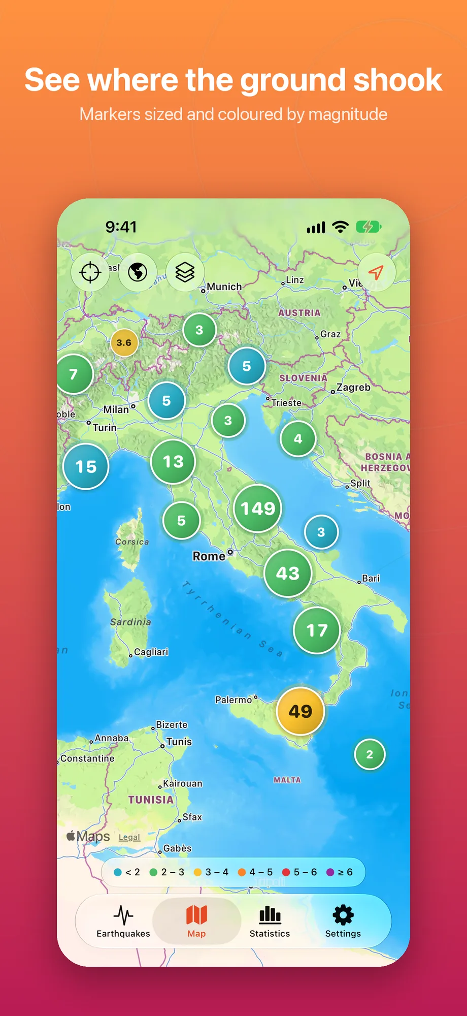
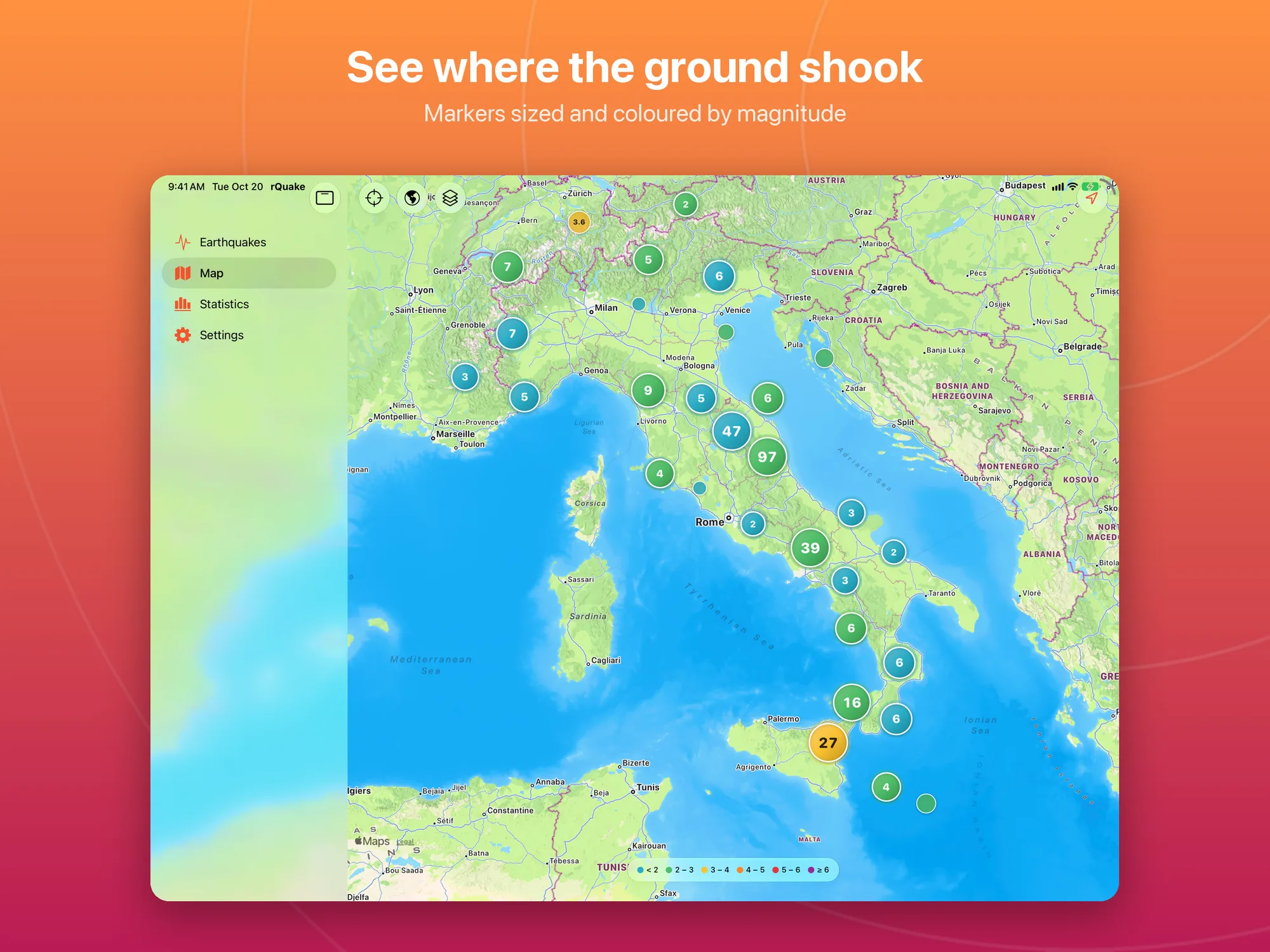
- Map of epicentres: circles coloured and sized by magnitude, grouped when they are close together; events from the last hour pulse. Standard or hybrid map.
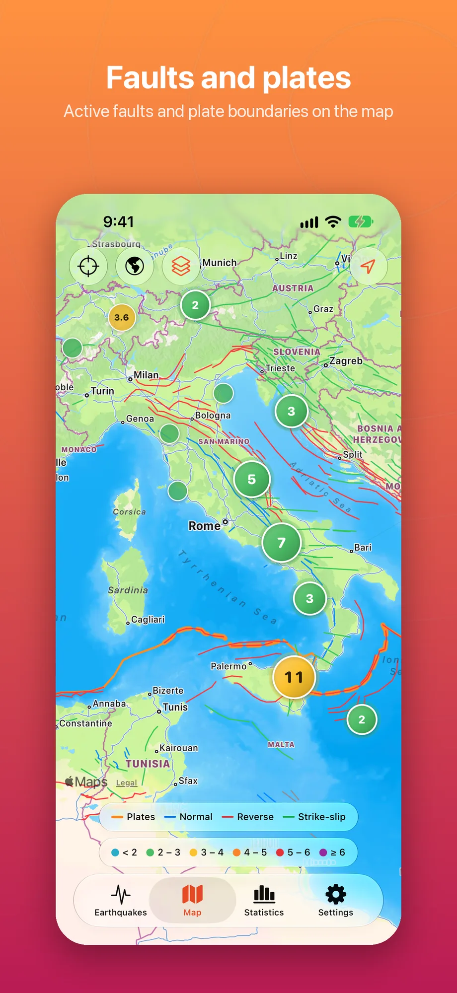
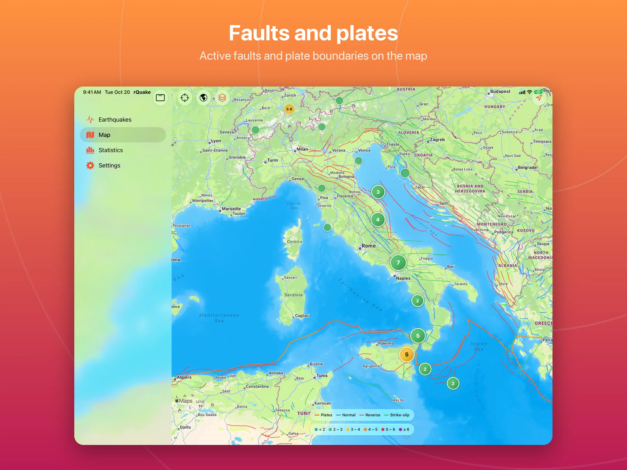
- Faults and plates: plate boundaries (PB2002) and, when you zoom in, active faults (GEM) by type: normal, reverse, strike-slip.
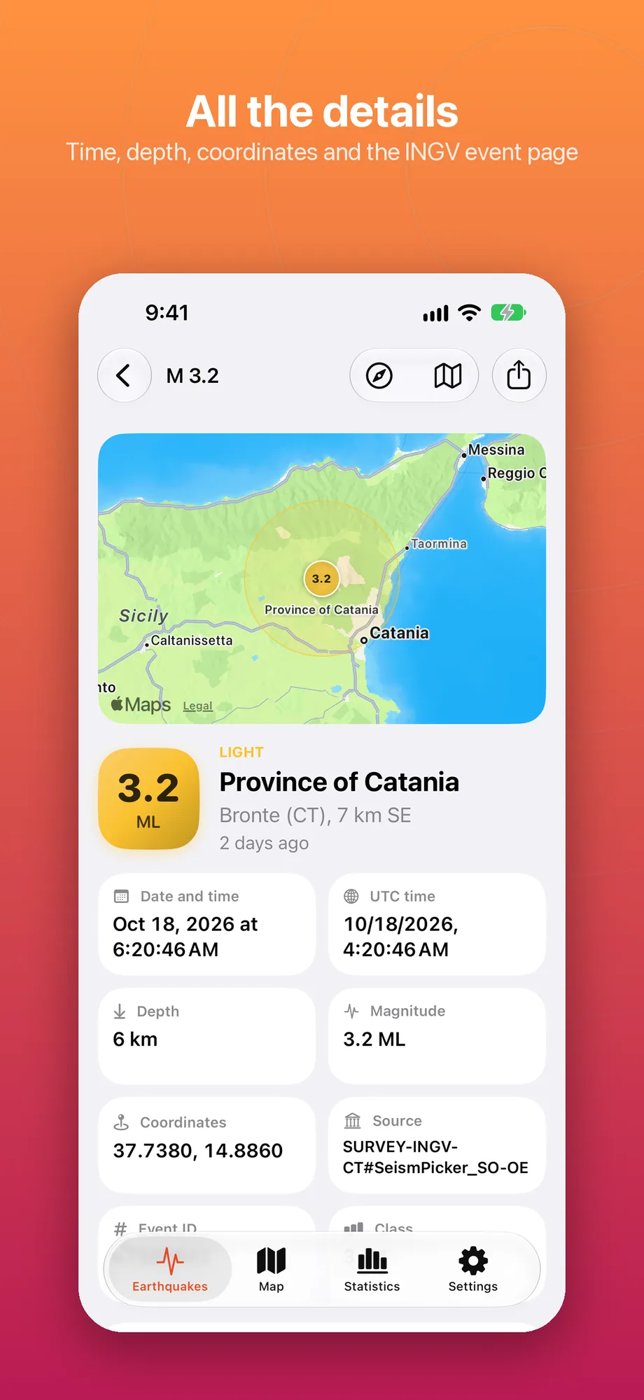
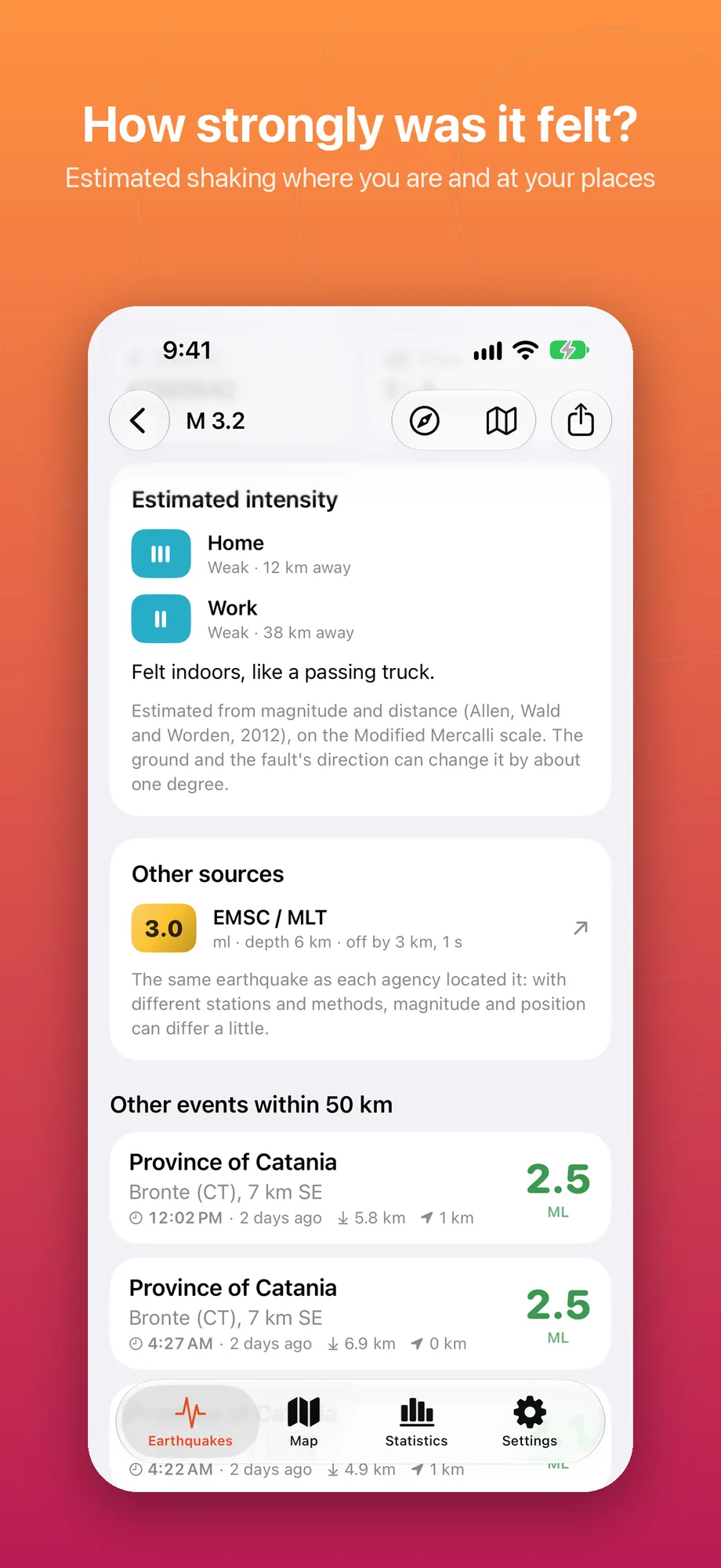
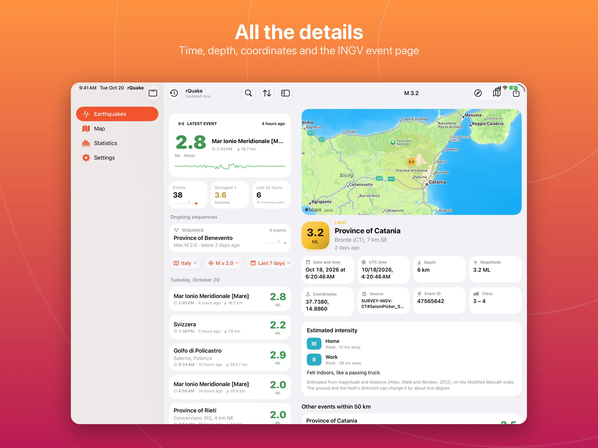
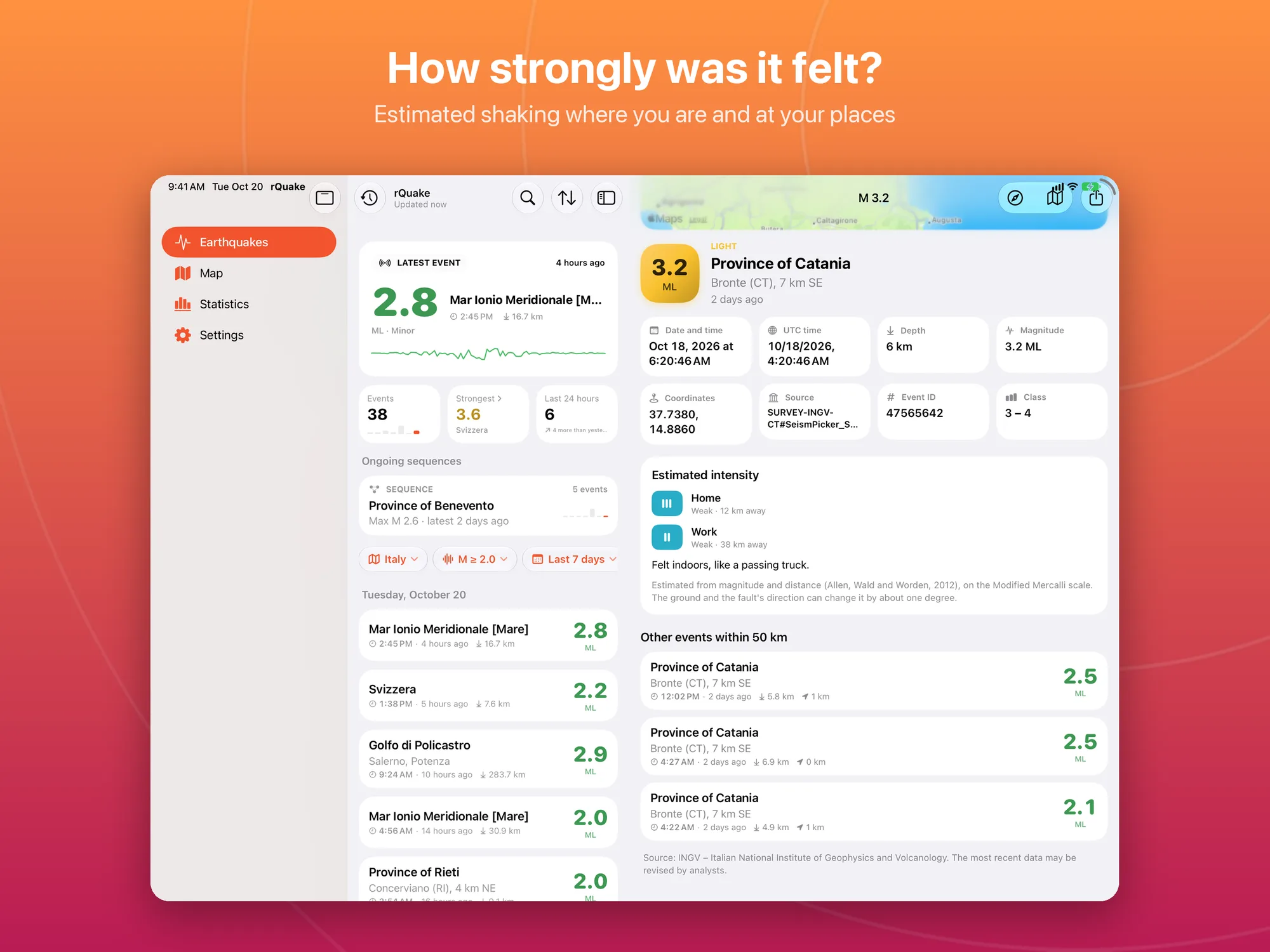
- Event details: local and UTC time, depth, coordinates, magnitude type, events within 50 km, Open in Maps, sharing and a link to the source’s official page.
- Estimated intensity: how strongly an earthquake was likely felt where you are and at your places, on the Modified Mercalli scale (Allen, Wald and Worden equation, 2012).
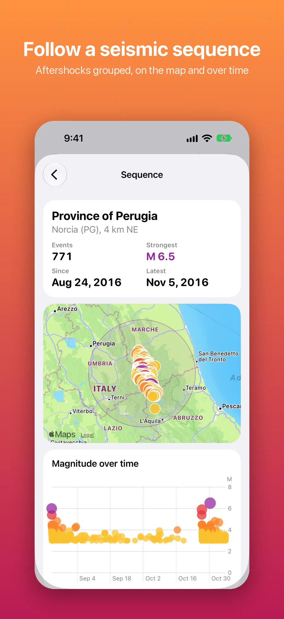
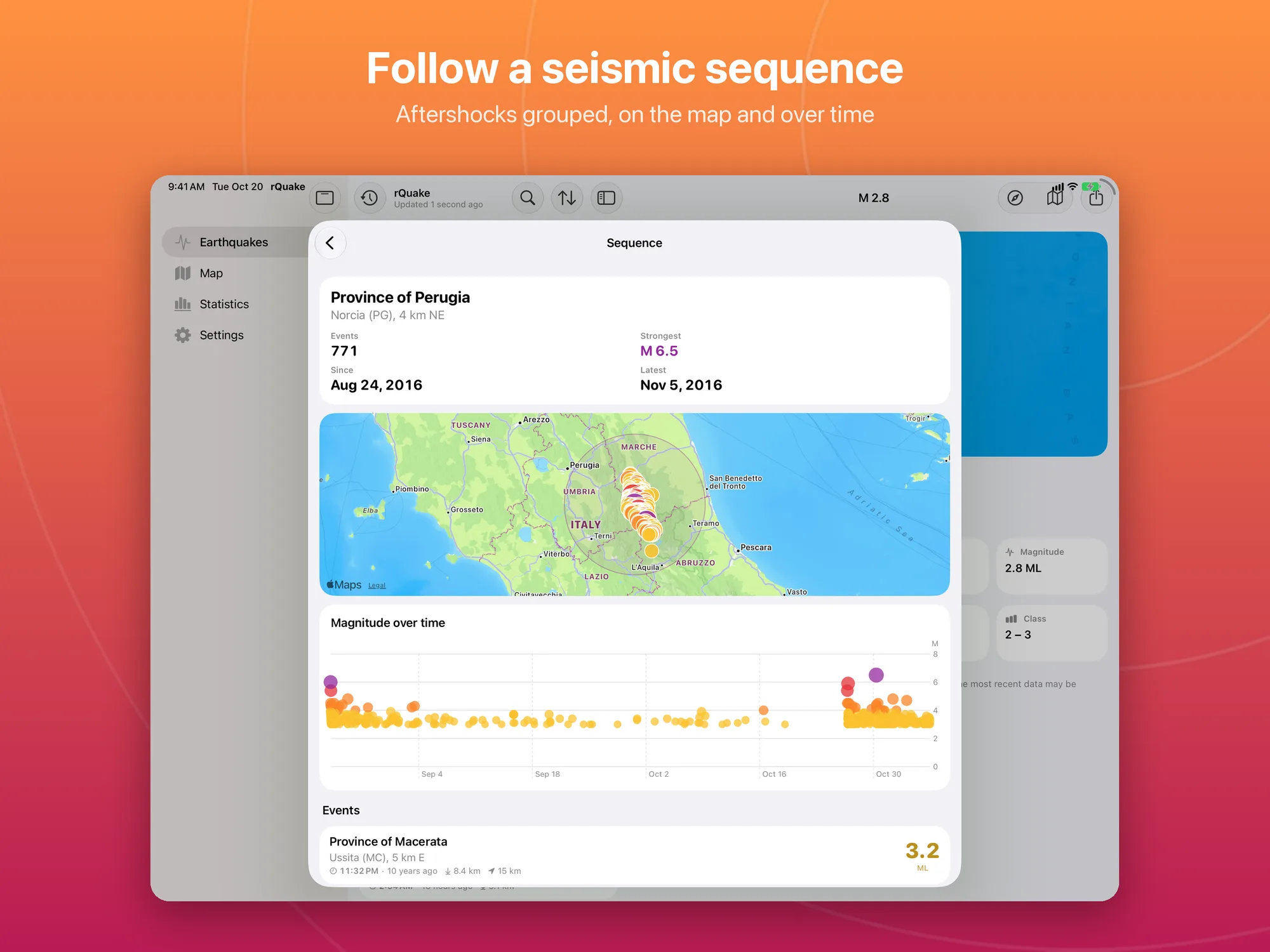
- Seismic sequences: shocks grouped around the strongest one with the Gardner and Knopoff windows, with map, chart and list; ongoing ones appear at the top of the list.
- Other sources: the same earthquake as INGV, USGS, EMSC and GFZ GEOFON located it, side by side.
- Archive: great earthquakes of the past ready to open (L’Aquila 2009, Emilia 2012, Central Italy 2016, Campi Flegrei 2025, Tōhoku 2011, Turkey and Syria 2023 and others) and a search by area, dates and magnitude.
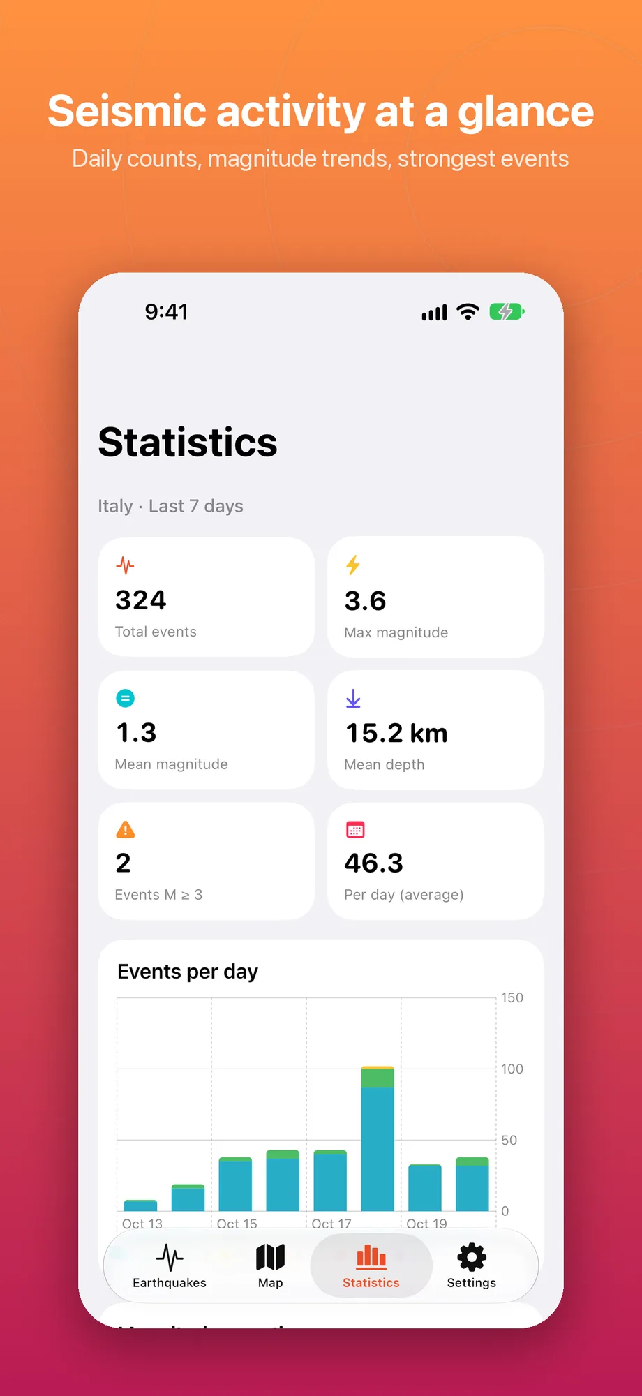
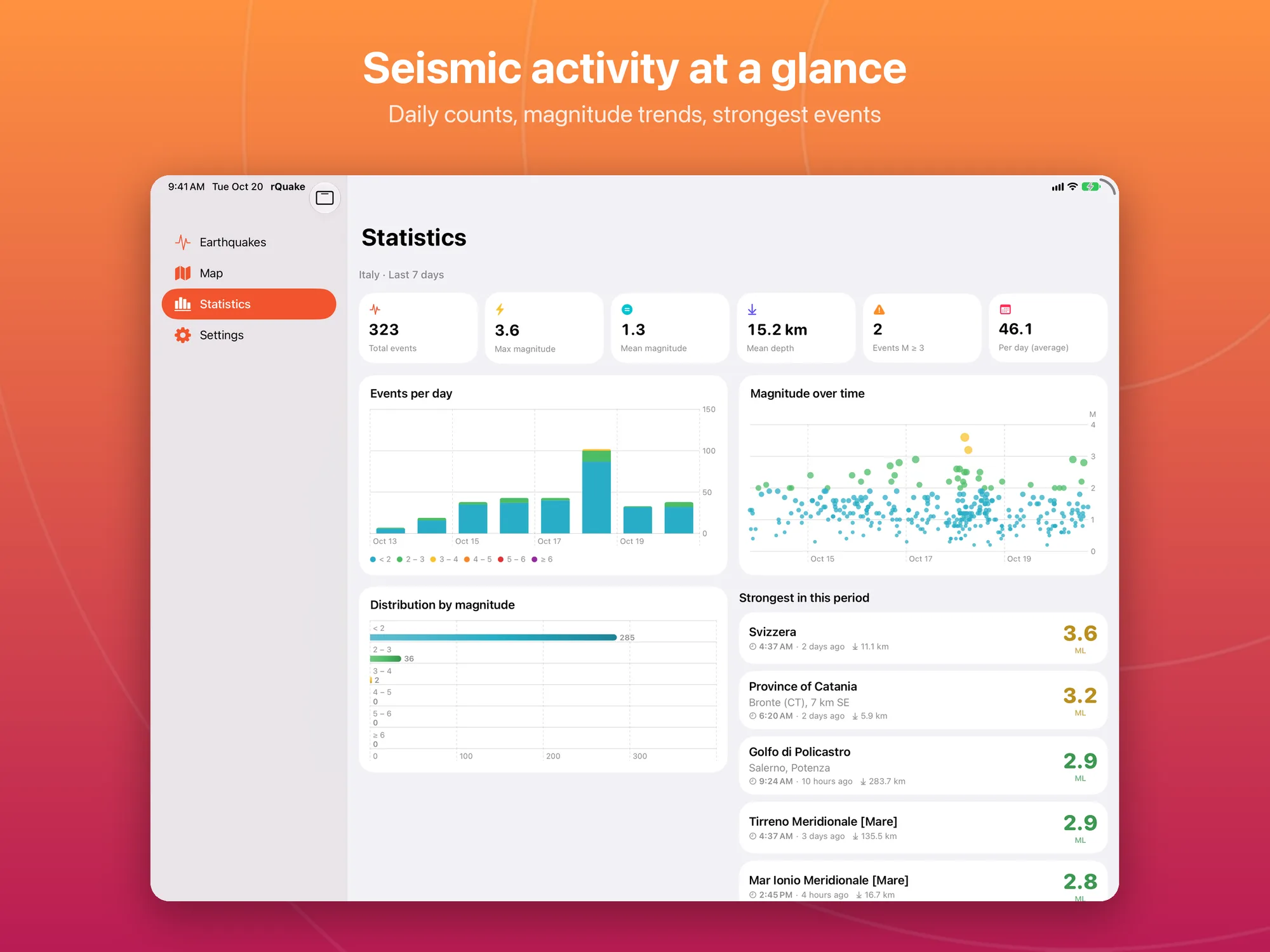
- Statistics: events per day, magnitude over time, distribution by magnitude and the strongest events of the period.
- Saved places: home, work, family, found with Apple Maps search or from your current location, each with its own radius and alerts.
- Alerts: notifications for new earthquakes above the magnitude you choose, in Italy, worldwide, near you or at your places, with quiet hours and a single summary during swarms. They arrive when iOS allows the background check, usually every 15–30 minutes.
- Siri and Shortcuts: “Latest earthquake” and “Earthquakes near me”.
- Widgets: for the Home Screen (small, medium, large) and the Lock Screen (circular, rectangular, inline), each with its own area, magnitude and source.
- Appearance and language: light, dark or system theme; the app in Italian and English, with the language chosen in Settings; VoiceOver and Dynamic Type.
- Privacy: no account and no tracking; your location and places stay on your device.
- No subscription: free, with no ads and no in-app purchases.
Data: INGV (CC BY 4.0 license), USGS (public domain), EMSC, GFZ GEOFON. Faults: GEM Global Active Faults (CC BY-SA); plates: PB2002 (Bird, 2003).
Platforms
Available for iPhone and iPad with iOS/iPadOS 26 or later. On iPad the list and the event details sit side by side.